Following a County Road Without Chasing the Shortest Line
Plan a county road drive around one connecting route and a few well-chosen stops, so the day feels coherent without racing between every named place.
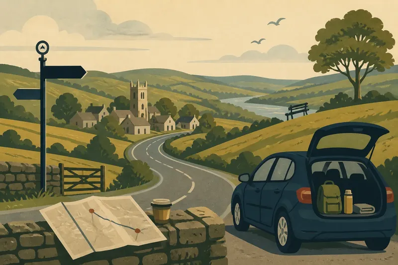
How do you plan a county road drive that feels like a day out, not a race to collect place names? Choose one connecting road, then let a few stops give the journey shape. A county road drive can be satisfying without taking in every village, viewpoint or landmark on the map.
The useful question is not which line is shortest. It is which route links places you would enjoy seeing, while leaving room to pause, change direction or simply carry on past. Think of the road as the thread and the stops as a small handful of beads: each should add something, but none needs to turn the day into a timetable.
Choose the character
Before opening a route planner, decide what sort of day you want. Perhaps you would like a drive through open farmland, a succession of small settlements, a stretch beside woodland, or a route that connects two places you already know. That simple preference is more helpful than trying to make a county-wide tour.
Look at a county map and find a road that runs through the kind of landscape you want to experience. A paper map can make the shape of a route easier to grasp; a digital map is handy for checking current access and navigation. You need not draw a neat loop. A route from one town to another, returning by a different road, can feel more relaxed than doubling back repeatedly to tick off places.
Set a loose boundary for the outing as well. Pick a starting area and a general direction, then notice where you would be happy to turn for home. This gives you an easy way to shorten the day without treating an unvisited village as a failure. Leave the most appealing part of the route for a time when you are not watching the clock.
Pick one connecting road
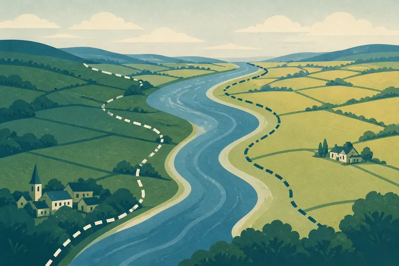
Now choose the road that will carry the day. On a map, follow its line through the county and notice what it connects: a market town with a smaller settlement, a valley road with a ridge, or one cluster of villages with another. The connection itself often reveals more about local geography than a route that leaps between isolated pins.
For a low-pressure drive, favour a road that offers several reasonable places to pause or turn around. Check the map for public car parks, visitor sites with clear access information, and towns where you can stop for a drink or use facilities. A narrow lane may look tempting as a shortcut, but it can add stress if there is little room to pass or nowhere suitable to pull over. Keep those roads for a day when exploring them is the point.
Use route planning as a check, not as a contest. A navigation app can help you spot road closures or understand the broad journey, while an Ordnance Survey map can show the shape of the surrounding countryside and settlement pattern. Compare a couple of options, then choose the one that best suits the day you want. You do not need to select the route with the smallest arrival time.
Choose a few stops
Pick a small set of points of interest that do different jobs. One might be a place to stretch your legs; another could offer a view, a village street to wander or a local museum. A café or pub can make a natural pause, but check opening information before setting your plans around it.
Give every planned stop a reason. “It is on the way” can be enough if the place itself interests you. If a stop adds nothing beyond a name you saw on the map, leave it out. This is how a route stays coherent: you travel through the county rather than turning off at every label.
- A starting pause: Choose a town, village or public place where you can get oriented before setting out.
- A landscape stop: Look for an accessible viewpoint, riverside public space or marked visitor site that suits the route.
- A settlement stop: Pick one village or small town for a short walk and a closer look at its street pattern.
- A practical break: Identify somewhere with suitable facilities, especially if you are travelling with children or need an easy rest.
- A flexible extra: Keep one possible stop in reserve, rather than adding it to a fixed schedule.
Check access details for each place, including parking, opening times and any restrictions that affect your visit. Keep the list short enough that missing one stop would not undo the plan. You are choosing invitations, not obligations.
Set a loose rhythm
Put the stops in an order that makes sense along the connecting road, then leave space between them. Avoid stacking several short visits into a sequence that leaves no time to enjoy any of them. A slow wander through a village can take longer than expected, while a viewpoint might only need a brief pause.
Say you are planning a drive from a county market town towards a village beside a broad valley. You might choose the road that passes through the valley, plan a short stop in one village and leave a public viewpoint as an optional pause. If the village feels like enough, you can continue to the viewpoint or head home; the route still works because those places sit along the same general line.
That is the practical difference between a route and a checklist. A route gives the day direction. A checklist asks you to keep moving until every item is crossed off. Marking the stops on a map is useful, but resist adding a target for each hour or trying to make the road into a perfect loop.
What should you check?
Should the route be a loop?
Only if a loop makes the drive easier or more enjoyable. A one-way route with a simple return by another road can be calmer, particularly when the county’s roads do not form a tidy circuit.
How many stops should I plan?
Choose a few that give the drive variety without filling the whole day. Leave one possible stop uncommitted so a good walk, a closed gate or a change of mood does not force a rushed decision.
Can I use a navigation app?
Yes, as a way to check the broad route, current closures and access information. Keep the connecting road in mind if the app proposes a faster detour that would take you away from the places you chose to see.
What if a stop is closed?
Skip it and continue along the route, or use your flexible extra if it suits the day. A plan with only one reason to leave the car can feel brittle; a few different kinds of stop make it easier to adapt.
Keep the day flexible
Before setting off, check current road conditions and access details for the places you intend to visit. If a road sign, local notice or site information changes your plan, follow it and choose another suitable stop. The details that matter depend on the road and place, so use current local information where it applies.
While driving, let navigation serve the route rather than dictate every turn. If you pass a village that looks inviting, you can decide whether to stop, but do not treat every unexpected landmark as a new assignment. If the weather turns or you are ready to head back, shorten the outing. A good plan makes that choice easy.
It is not worth spending an evening trying to include every named hamlet, church, viewpoint and historic marker in a county. That labour tends to produce a crowded map, not a better drive. A short note with the connecting road, your chosen stops and one alternative is usually enough.
For your next county road drive, choose the connection first and let the points of interest support it. You will come away with a clearer sense of how the places relate to one another, and you will still have good reasons to return for a different road another day.